

&imwidth=800&imheight=600&format=webp&quality=medium "Israel destroyed more than 1500 building in one month since ceasefire")
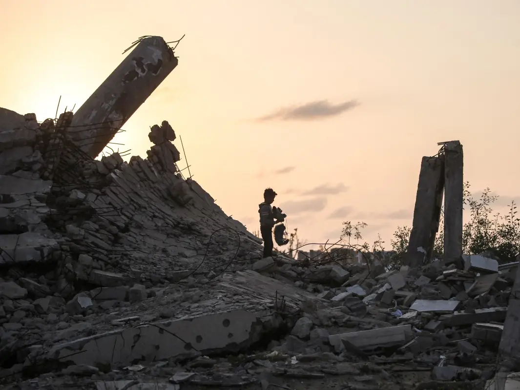
Since the US brokered a ceasefire on October 10, Israel has continued to bomb across Gaza. Approximately 1500 buildings were razed to the ground, according to an investigation by the BBC of the satellite images of Israel-occupied Gaza. The photos show that the entire neighbourhood had been flattened by the Israel Defence Forces.
The radar images before and after the ceasefire were traced using a change detection algorithm to analyse the destruction, and then they were manually counted. The BBC report suggests that the real number can be more than what is being projected, as visuals of some of the areas were not available.
It is hard to be conclusive from the satellite images, especially when the point of view is from above. However, these buildings did not have visible damage or signs like rubble or changes to their outlines. These images show damage to the gardens, trees and some small orchards in Khan Younis and Rafa.
Israel claims the damages are in line with the deal
Eitan Shamir, the ex-head of the National Security Doctrine Department in the Israeli Ministry of Strategic Affairs, suggested that Israel is not violating the terms and these bombings are done in the part beyond the yellow line and do not implicate the deal. The ceasefire deal signed by Israel and Hamas, brokered by the US and supported by Egypt, Qatar, and Turkiye, has called for the immediate cessation of “all military operations, including aerial and artillery bombardment.” Israel maintains that its actions are in line with the deal, such as damaging the “terror infrastructure, including tunnels,” as required by the agreement. Moreover, the BBC report suggests that the IDF is preparing for further operations, as they feel it is unlikely Hamas will follow through with the second phase of the agreement. IDF also claims that there had been attempts from Hamas to infiltrate beyond the yellow line.

