China asks India to not 'over-interpret' latest 'distorted' map release


China releases new map
Days after releasing a contentious map showing India's Arunachal Pradesh and Aksai Chin as part of its sovereign territory, China has justified the move by saying India should refrain from 'over-interpreting' the exercise.
“On August 28, the ministry of natural resources of China released the 2023 edition of the standard map. It is a routine practice in China’s exercise of sovereignty in accordance with the law. We hope relevant sides can stay objective and calm, and refrain from over-interpreting the issue,” Wang Wenbin, Chineseforeign ministry spokesperson was quoted as saying when asked about India’s protest.

Notably, New Delhi outrightly rejected the map, with External Affairs Minister S Jaishnkar pointing out that it wasn't the first time China had come out with a similar move.
"It's an old habit of theirs. These (territories) are very much part of India. This government is very clear what our territories are. Making absurd claims doesn't make others territories yours," the minister was quoted as saying by NDTV.
The release of the map came a few days after PM Modi's meeting with Chinese President Xi Jinping in Johannesburg during the BRICS summit. With Xi expected to visit India for the G20 summit next week, the release of the map is expected to increase tension between the two parties.
&imwidth=180&imheight=135&format=webp&quality=medium)
Sidhu Moose Wala’s younger brother wins hearts by recreating late singer’s signature move at Toronto Hologram Show
&imwidth=180&imheight=135&format=webp&quality=medium)
Apple HomeView smart home hub may launch soon with A18 chip, display and Siri controls: What to expect
&imwidth=180&imheight=135&format=webp&quality=medium)
Anti-SIR protest in Mumbai: Protestors wear black masks & ribbons in Mumbai
&imwidth=180&imheight=135&format=webp&quality=medium)
'I will not be silenced': Ilhan Omar alleges political intimidation after federal officers search her Washington home
&im=FitAndFill=(700,400)&imwidth=180&imheight=135&format=webp&quality=medium)
Navratri 2026: 9 days, 9 forms of Goddess Durga and 9 colours- Check the complete list
&imwidth=180&imheight=135&format=webp&quality=medium)
Houthis warns US of 'painful response' if Washington joins Saudi war in Yemen as airlines suspend flights to Saudi Arabia
&imwidth=180&imheight=135&format=webp&quality=medium)
'Almost certainly': UK Prime Minister Andy Burnham says Iran's IRGC behind RAF Fairford threat
&im=FitAndFill=(700,400)&imwidth=180&imheight=135&format=webp&quality=medium)
New OTT releases this week (October 12-18, 2026): Sacrifice, Koffee with Karan S9, Roadies Rebirth- 6 titles coming on Netflix, JioHotstar and more
&imwidth=180&imheight=135&format=webp&quality=medium)
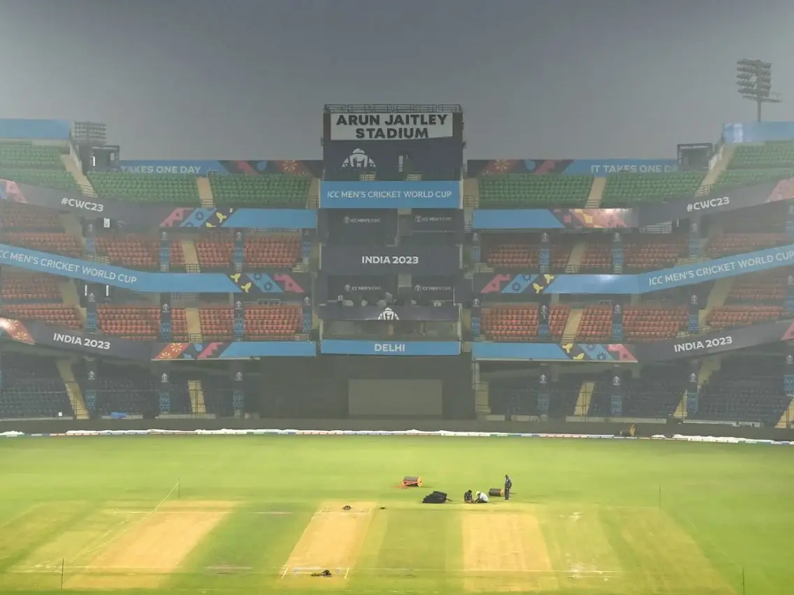
BCCI rejects venue shift reports, India vs Sri Lanka 1st ODI to remain in Delhi
&imwidth=180&imheight=135&format=webp&quality=medium)
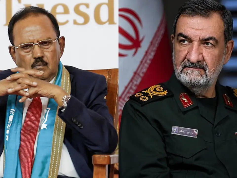
India's Ajit Doval, Iran's Mohsen Rezaei hold talks amid escalating West Asia tensions, discuss 'issues of mutual interest'
&imwidth=180&imheight=135&format=webp&quality=medium)
'Ouch!!! That must hurt': Kangana Ranaut hails Kamal Haasan's sharp reply to Elon Musk over Starlink row
&imwidth=180&imheight=135&format=webp&quality=medium)
Use AI as your ‘second brain’: Meta AI chief Alexandr Wang’s message to young people
&imwidth=180&imheight=135&format=webp&quality=medium)
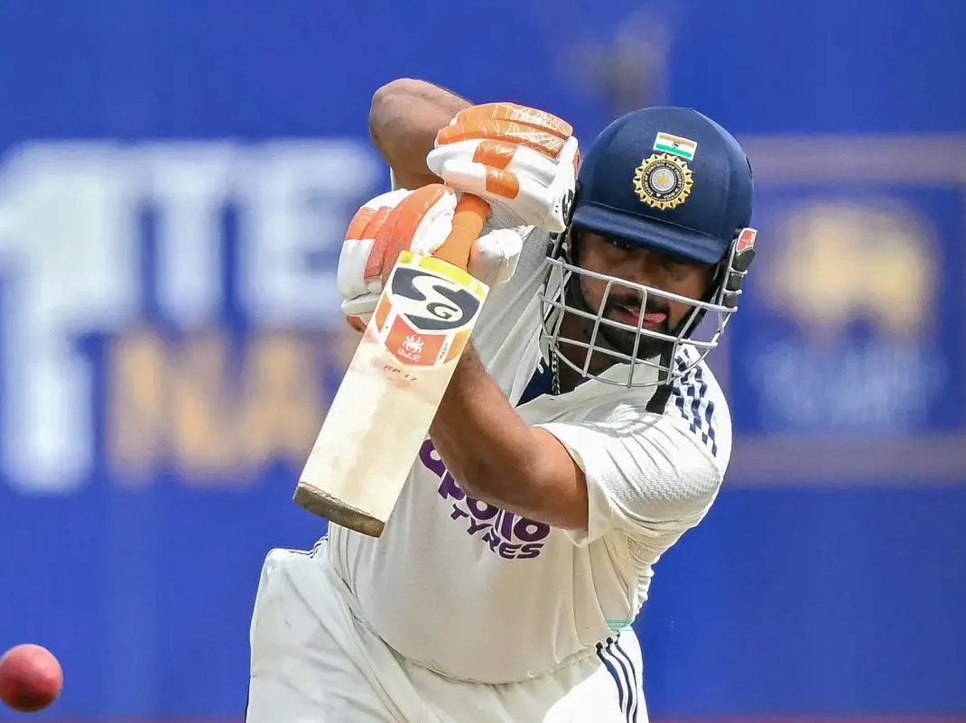
Rishabh Pant ruled out of India A squad for New Zealand tour, Kumar Kushagra named replacement
&imwidth=180&imheight=135&format=webp&quality=medium)
1,500 drones illuminate Mumbai sky as Cordelia Cruises unveils second ship, Cordelia Sky
&imwidth=180&imheight=135&format=webp&quality=medium)
Reports: Saudi crown prince Mohammed bin Salman is being moved to safe locations
&imwidth=180&imheight=135&format=webp&quality=medium)
Pakistan's government blames PTI for rise of terrorism in Khyber Pakhtunkhwa
&imwidth=180&imheight=135&format=webp&quality=medium)
UK school ditches technology, shifts from screen to pen and paper for learning
&imwidth=180&imheight=135&format=webp&quality=medium)
Opposition’s 10 demands in Supreme Court petition range from stay on SIR to audit of voter rolls
&imwidth=180&imheight=135&format=webp&quality=medium)
Congress demands action against chief election commissioner
&imwidth=180&imheight=135&format=webp&quality=medium)
US federal agents raid Dem Rep Ilhan Omar’s home ahead of midterms
&imwidth=180&imheight=135&format=webp&quality=medium)
India Rejects Pakistan-China Boundary Commission, Tells Islamabad to Drop 'Theatrics' | GRAVITAS
&imwidth=180&imheight=135&format=webp&quality=medium)
'Turn approver, resign, we'll forgive you': Rahul Gandhi claims receiving messages from CEC Gyanesh Kumar
&imwidth=180&imheight=135&format=webp&quality=medium)
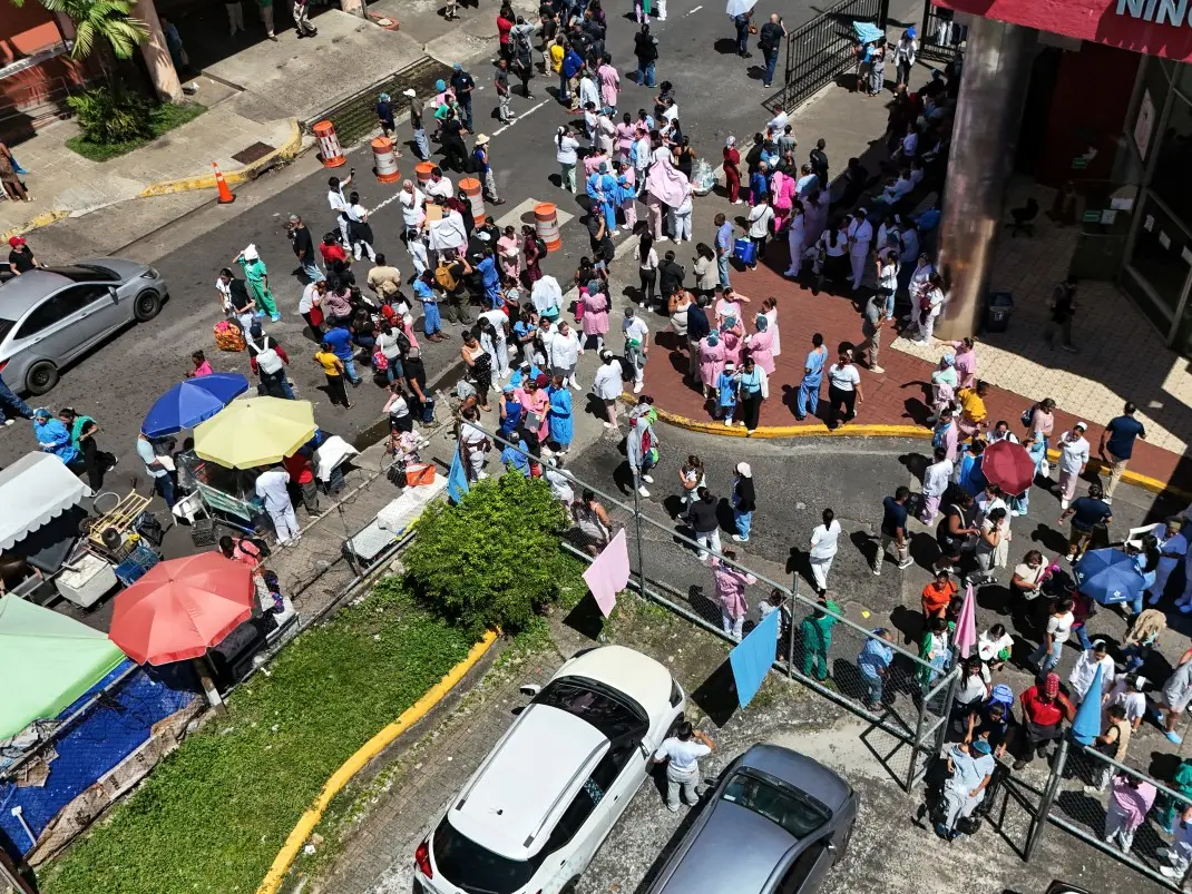
Powerful 7.7 magnitude earthquake strikes Panama, tsunami warning issued
&imwidth=180&imheight=135&format=webp&quality=medium)
Portugal Federation confirms Cristiano Ronaldo’s return to national team despite suspension
&imwidth=180&imheight=135&format=webp&quality=medium)
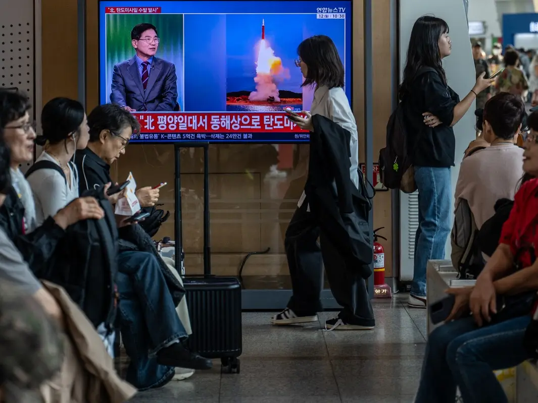
Korean peninsula tensions escalate as North Korea launches multiple ballistic missiles, PACOM says 'no threat to US personnel'
&im=FitAndFill=(700,400)&imwidth=180&imheight=135&format=webp&quality=medium)
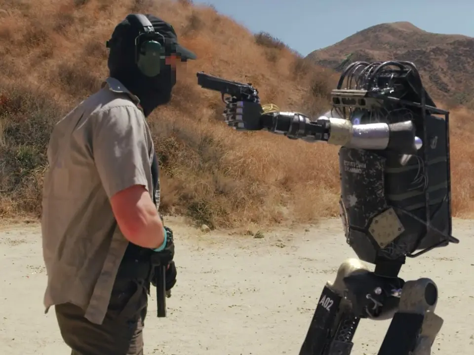
How does a robot decide what to do next?
&imwidth=180&imheight=135&format=webp&quality=medium)
ICC penalises West Indies duo Powell, Rutherford for Code of Conduct breach
&imwidth=180&imheight=135&format=webp&quality=medium)
Trump weighs firing Kimberly Guilfoyle as US ambassador to Greece amid misconduct allegations: Report
&imwidth=180&imheight=135&format=webp&quality=medium)
‘This is just the start’: Maaya Rajeshwaran on historic ITF title, confidence boost and future goals
&imwidth=180&imheight=135&format=webp&quality=medium)
UK PM Andy Birnham renews claims of Russian meddling in Brexit vote
&imwidth=180&imheight=135&format=webp&quality=medium)
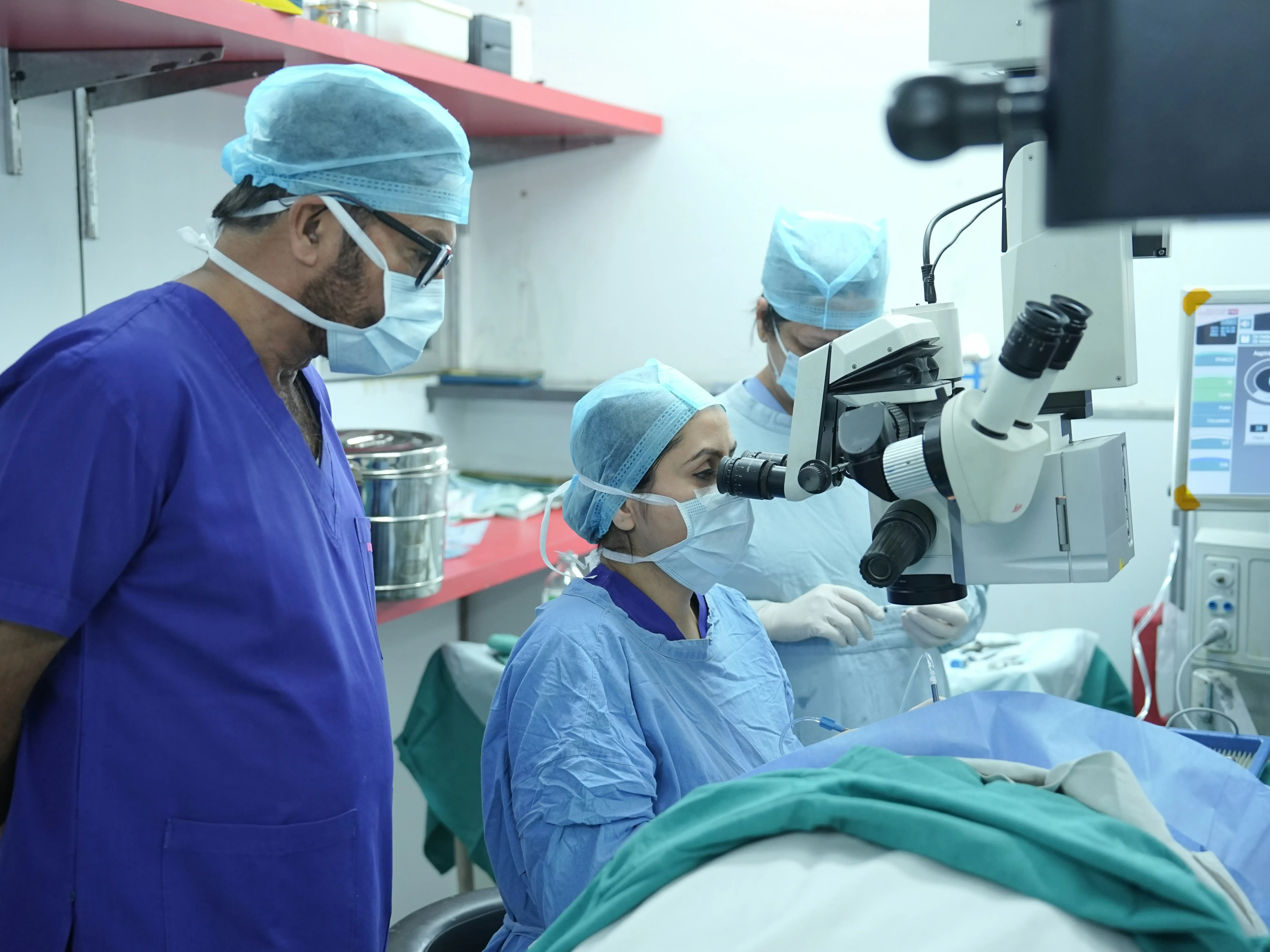
Robotic surgery, advanced treatment: What is coming to this small Gujarat town?
Watch |New China map show whole of Arunachal Pradesh as part of China
China releases map
Over the weekend, Beijing released its official 'standard map' wherein apart from Arunachal Pradesh and Aksai Chin, it showed Taiwan and the disputed South China Sea as part of the Chinese territory.
The Chinese government's mouthpiece Global Times took to X, formerly known as Twitter, to share the 'distorted' map, claiming it has been "compiled based on the drawing method of the national boundaries of China and various countries in the world."
"The 2023 edition of China's standard map was officially released on Monday and launched on the website of the standard map service hosted by the Ministry of Natural Resources," read the post.
Beijing considers Arunachal Pradesha part of its sovereign borders and calls the state “Zangnan, the southern part of Tibet". It disputes the legality of the McMahon Line which was agreed upon at the Simla Convention of 1914 between Tibet and British India.
Meanwhile, the dispute of Aksai Chin can be traced back to the British imperialistswho failed to clearly demarcate the border between India and China. Currently, the Line of Actual Control (LAC), where the two countries have been locked in a tussle for over two years now, separates Indian areas of Jammu & Kashmir from Aksai Chin.
(With inputs from agencies)
WATCH WION LIVE HERE: