
&imwidth=800&imheight=600&format=webp&quality=medium "Weather systems brewing off India's southwest and southeast coast")
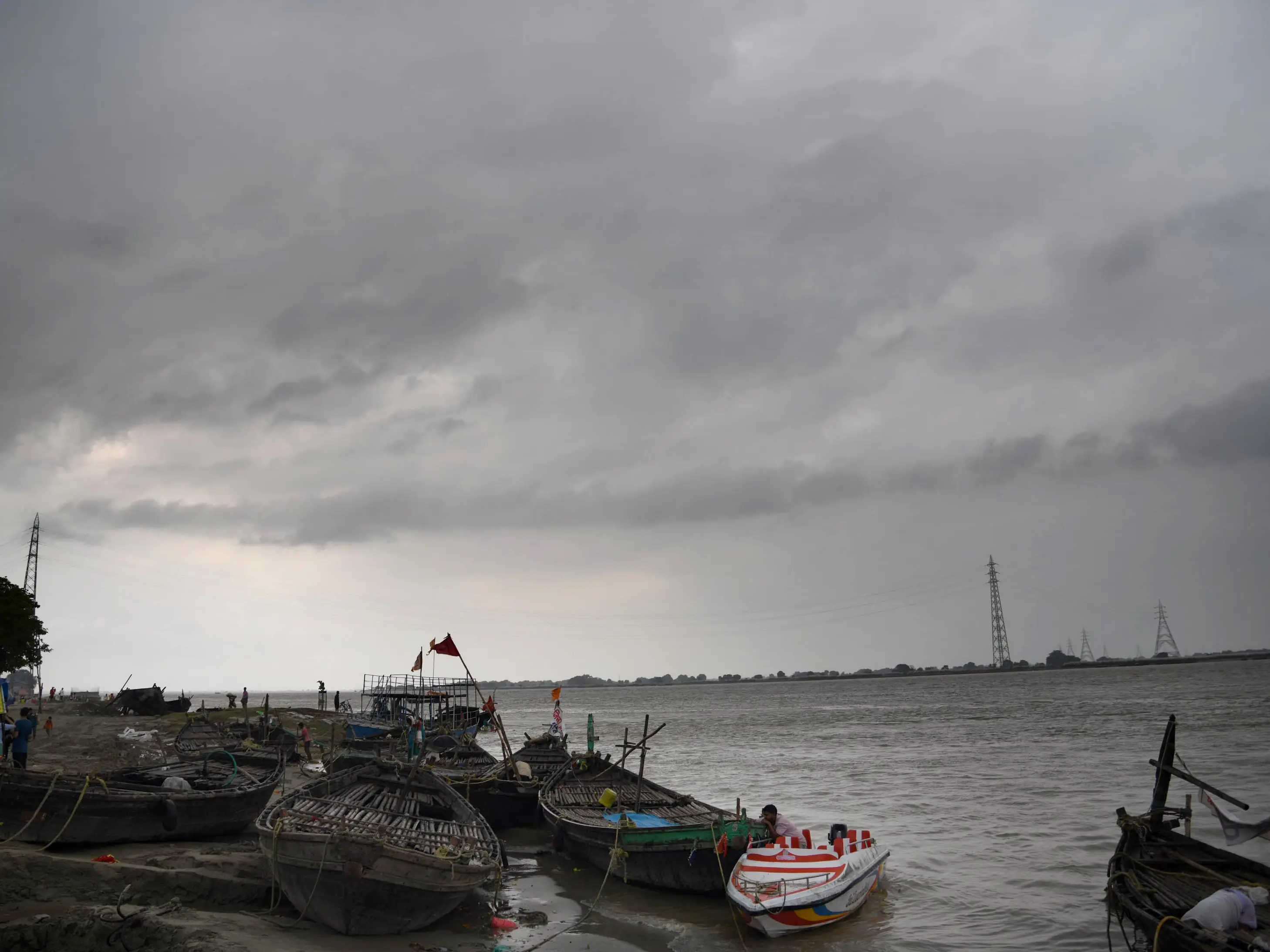
Less than a week after the onset of the Northeast monsoon, there are two weather systems brewing off the Indian Southwest coast and the Southeast coast. As per the Indian Meteorological Department (IMD), a well marked low pressure area near Lakshadweep area, off India's southwest coast, is likely to intensify into a depression over the next 24 hours. Meanwhile, a low pressure area is expected to form off the Indian southeast coast, and intensify into a depression over the next 48hours.
In meteorology, a low-pressure area is one where the atmospheric pressure is lower than the surrounding areas. It is associated with cloud formation, increased, humidity and rainfall. It causes moderate rain, cloudy skies. A depression is an intense low-pressure area that brins moderate to heavy rainfall, thunderstorms, gusty winds.
Owing to these weather systems, wind speeds of upto 55kmph are forecast along the Southeast coast and the Southwest coast until 24th October, Friday. Fishermen have been advised to not venture out along the Kerala-Karnataka coast, the Lakshadweep region, Tamil Nadu Coast, Palk Straits, among others.

Through this week, there is a rainfall warning for over a dozen districts across Tamil Nadu, including Chennai and adjoining districts. The forecast suggests that there could be very heavy rain (12-20cms in 24 hours) or heavy rain (7-11cms) in multiple districts across Tamil Nadu.
The ongoing Northeast monsoon caters for about 50% or more of the annual rainfall in Tamil Nadu and coastal Andhra Pradesh. This season is known for cyclonic storms or weather systems that form in the Bay of Bengal, which can lead to very heavy rainfall and potential flooding in parts of Tamil Nadu and coastal Andhra Pradesh. These rains are also crucial for recharging the water table and the reservoirs.
