
&imwidth=800&imheight=600&format=webp&quality=medium "Cyclone Senyar makes landfall in Indonesia, heavy rain expected in Tamil Nadu, Kerala, and Andhra Pradesh")
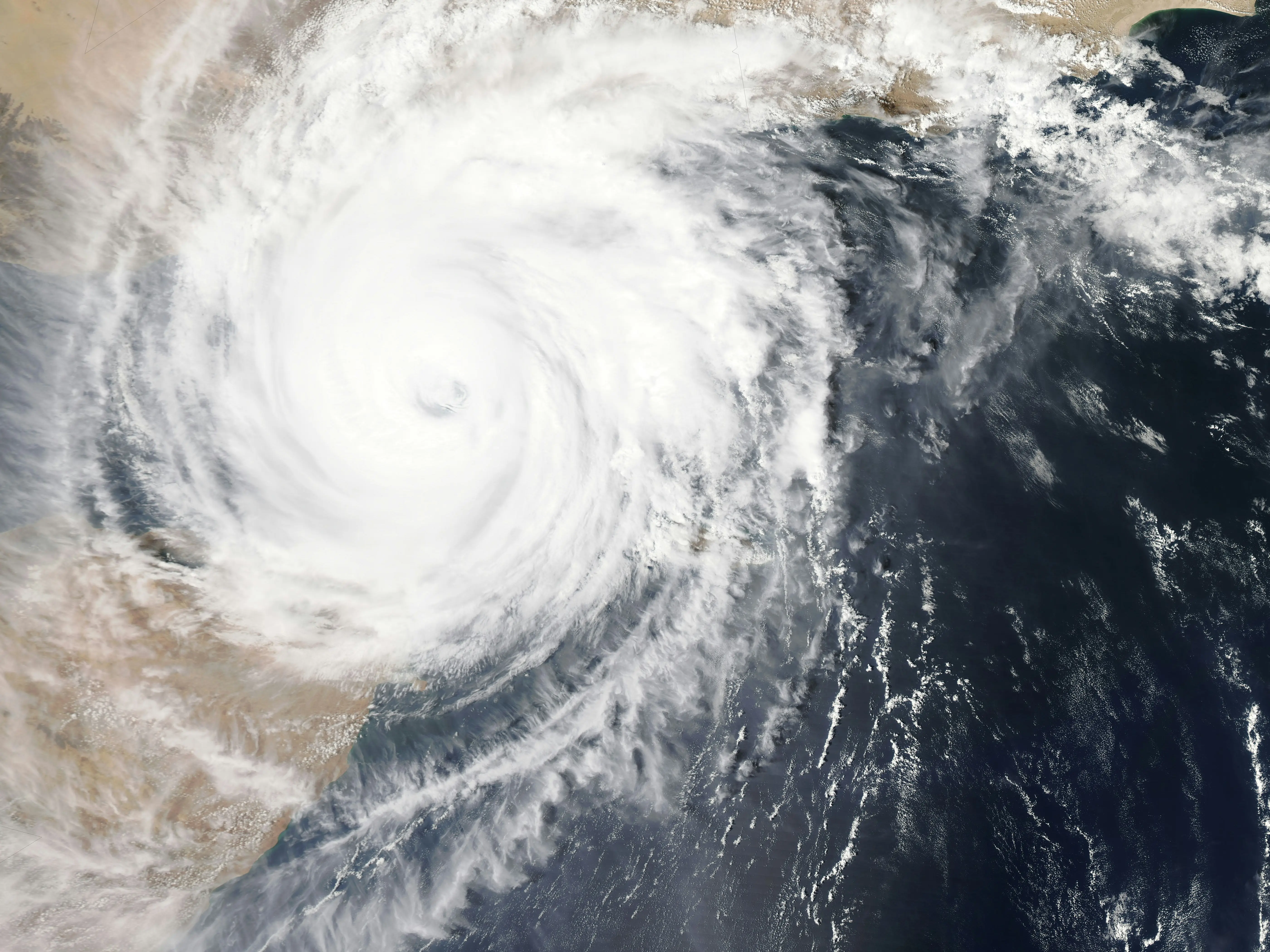
Cyclone Senyar, which developed over the Strait of Malacca and the surrounding regions of Northeast Indonesia, made landfall along the Indonesian coast early Wednesday morning (November 26). The storm brought wind speeds between 70-80 km/h, with gusts reaching up to 90 km/h, as reported by the India Meteorological Department (IMD). At the time of landfall, Senyar was located about 80 km to the east of Kuta Makmur (Indonesia), 280 km west of George Town (Malaysia), 580 km southeast of Nancowry (Nicobar Islands), and 730 km southeast of Car Nicobar (Nicobar Islands).
The cyclone is expected to continue moving in a west-southwest direction, maintaining its intensity as a cyclonic storm through Thursday morning. After that, the storm is predicted to shift eastwards and gradually weaken over the following 24 hours. Meanwhile, a well-marked low-pressure system persists over the southwestern Bay of Bengal, extending into the southeastern parts of Sri Lanka and the Equatorial Indian Ocean.

The system is anticipated to move north-northwestward and intensify into a depression within the next 24 hours. Over the next 48 hours, this system is expected to strengthen further and move towards the coasts of North Tamil Nadu and Puducherry. As these weather systems develop, heavy to very heavy rainfall is anticipated over several regions, including the Nicobar Islands, Andaman Islands, Tamil Nadu, Puducherry, Kerala, and Andhra Pradesh.
In addition to heavy rain, strong winds with speeds reaching 70-80 km/h, gusting up to 90 km/h, are expected across areas such as the Strait of Malacca, Malaysia, the South Andaman Sea, and parts of Indonesia and Thailand. Wind speeds are forecasted to decrease to 50-60 km/h with gusts up to 70 km/h by Thursday morning, before gradually dropping further to 40-50 km/h, gusting to 60 km/h, by Friday morning.

