Cyclone Mandous to make landfall near Indian state of Tamil Nadu; Chennai on high alert, read full details

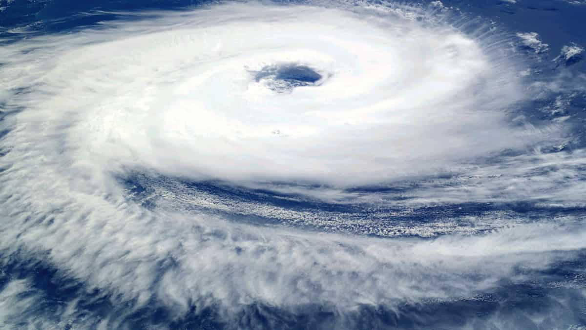
Cyclone Mandous to make landfall near Indian state of Chennai, city on high alert, get full details
Cyclone Mandous has developed from the deep depression over the Bay of Bengal, and it will soon bring torrential rain to Chennai. According to meteorologists of the India Meteorological Department, the rains will get intense. By the morning of December 10, Mandous, which is now around 600 kilometres east-southeast of Chennai, is predicted to make landfall between Puducherry and Sriharikota, which is located on the coast to Chennai's north and northeast.
The Met department on Saturday (December 9) in Chennai issued an orange alert due to heavy rains. The Arakkonan section of the National Disaster Response Force (NDRF) has sent a team to the city. The Greater Chennai Corporation has also implemented a number of cyclone-related preparations. According to Tamil Nadu revenue minister K K S S R Ramachandran, the state has over 5200 relief camps set up and ready to receive residents in low-lying districts.
The Airports Authority of India (AAI) on Wednesday met to assess the situation at Chennai International Airport. The airport team is prepared for any emergency conditions, according to the officials, who also stated that all teams have been maintained on standby and that the contingency plan would be triggered as events develop. Officials from the NDRF further stated that their Arakkonam control room, which operates round-the-clock, is continuously monitoring the situation and that all attempts are being made in close coordination with the state government of Tamil Nadu.
The IMD said the deep depression over the southwest and adjoining southeast Bay of Bengal moved nearly west-northwestwards with a speed of 10 kmph during past six hours, intensified into a cyclonic storm 'Mandous' pronounced as 'Man-dous'. The cyclone is very likely to move west-northwestwards and cross north Tamil Nadu, Puducherry and adjoining south Andhra Pradesh coasts with a maximum sustained wind speed of 65-75 kmph gusting to 85 kmph around night hours of 9th December, the weather experts said.
In addition to Tiruvallur, Ranipet, Vellore, Tiruvannamalai, Tirupattur, Kallakurichi, and Cuddalore on December 9 and Tiruvallur, Kancheepuram, Ranipet, Chengalpet, Vellore, Tiruvannamalai, Tirupattur, Dharmapuri, and Krishnagiri on December 10, the orange warning has also been issued for Chennai. On December 9, a red warning has been issued for the Tamil Nadu districts of Chengalpet, Kancheepuram, and Villupuram as well as Puducherry. Additionally, the NDRF teams have been dispersed around the state.